
Free GeoSpy Photo Location Finder
GeoSpy isn't reading hidden GPS tags — it's looking at what's actually in the photo. Here's what powers the prediction.
Run in Console
Free GeoSpy Photo Location Finder
GeoSpy isn't reading hidden GPS tags — it's looking at what's actually in the photo. Here's what powers the prediction.
Drag and drop your image here
or
Supported formats: JPEG, PNG, WEBP
Maximum size: 8MB
After upload, your image, selected tool, and requirements move with you to the console.
Coverage
Image geolocation from visible clues
GeoSpy isn't reading hidden GPS tags — it's looking at what's actually in the photo. Here's what powers the prediction.
A note on expectations: GeoSpy has more evidence to work with when outdoor photos show landmarks, architecture, vegetation, signage, or road markings. Indoor photos and scenes without distinctive clues are harder, and even apparently obvious estimates can be wrong.
How it works
The clues GeoSpy looks for
This isn't magic — it's pattern matching on six categories of visual evidence.
Architecture & landmarks
Building styles, materials, roof shapes, window designs, and recognizable landmarks. A pagoda roof narrows it to East Asia. A Tudor-style facade points to the UK. The Sydney Opera House — well, that one's obvious.
Vegetation & terrain
Plant species, tree types, soil color, and landscape features. Palm trees plus red soil strongly suggests certain tropical regions. Pine forests and granite peaks point to alpine or northern latitudes.
Signage & text
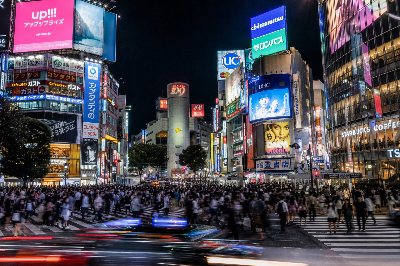
Language on signs, road markings, license plate formats, and store names. Cyrillic text narrows things down fast. A "STOP" sign means one thing if it says "STOP" and another if it says "ARRÊT" or "止まれ".
Vehicles & infrastructure
Car makes and models (different markets get different cars), road surface types, traffic light designs, electrical outlet shapes, and sidewalk patterns. A tuk-tuk in frame is a pretty strong signal for Southeast Asia.
Lighting & climate
Sun angle, shadow direction, sky color, and weather patterns. Combined with vegetation, this can distinguish between, say, Mediterranean and Californian coastlines — which otherwise look very similar.
Metadata cross-check
We also read any GPS tags, camera model, and timestamp from the file's metadata. We compare this against the visual prediction. If they match — great, higher confidence. If they don't — we flag the discrepancy and show both.
What you'll see
Here's a typical GeoSpy result
Clean, readable, and transparent about confidence.
The process
From photo to pin on the map
Upload your photo
Drop, browse, or paste a URL. Same 8MB limit, same supported formats. Works best with outdoor, well-lit photos that show some environment.
Multi-signal analysis
The service asks an image model to consider visible architecture, vegetation, signage, vehicles, lighting, and available context.
Consensus & confidence
The model returns an estimated location, confidence value, and explanation. These values can be wrong and are not independent verification.
Your result
Country, city, approximate coordinates, confidence percentage, and the specific clues we found. You can also see which clues pointed where, so you understand why we made the call we did.
Who uses this
Real situations where location detection helps
Fact-Checking
Verify photo claims
Use the estimate as a lead when reviewing a location claim, then verify it with maps, source records, metadata, and other independent evidence.
Travel & Photography
Find forgotten locations
Found an old photo on your hard drive and can't remember where you took it? GeoSpy can often figure out the country and city from visual clues alone. Way faster than scrolling through your entire photo library hoping to find the one before or after it.
Marketplace Trust
Check if sellers are where they say they are
A seller on a marketplace claims to be in one country but their product photos show architecture, signs, and vegetation from somewhere else? GeoSpy helps flag potential dropshipping or misrepresentation. Not foolproof — but a useful signal.
FAQ
Questions about GeoSpy AI
Also try